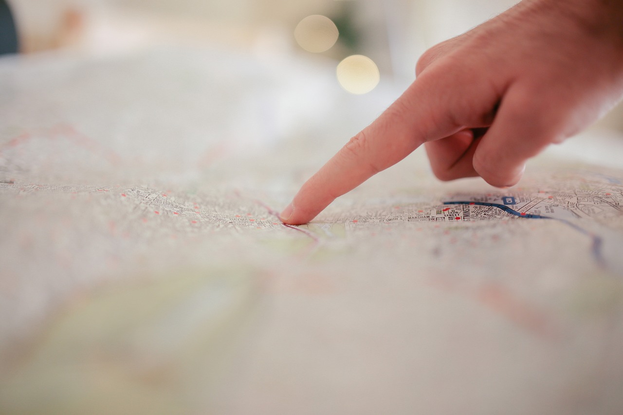
Interactive Maps
Transform your data into a visual experience that connects and inspires
Do you have valuable information that needs better communication?
With an interactive map, you can display your projects, studies, or programs in a clear, attractive, and participatory way, achieving greater reach and understanding.
Make the invisible visible
Present your results dynamically, combine data, images and descriptions, and allow people to explore the territory with just one click. Our maps help disseminate your work, strengthen transparency and generate greater impact on your audience.
Involve the community
Integrate citizen participation into your project. Allow users to report information, add cases or update data directly from the map. A modern way to build knowledge together.

Accessible on any device
Your map will be available 24/7 from phones, tablets or computers, without special installations. Always visible, always updated.
How we work
We define objectives
We establish the project focus together with you
We organize data
We georeference and structure the information
We design the map
We create the map and its management panel
We train you
So you can manage it without depending on third parties
Key features
Tools that enhance your project's impact
Multiple layers
Combine different types of information on the same map
Advanced filters
Allow users to search and filter specific information
Exportable reports
Generate reports and exports in various formats
Statistics dashboard
View metrics and key data in real time
Multimedia
Integrate images, videos and documents into each point
Access control
Manage permissions and user roles
Examples of our maps
Explore some of the projects we have developed

Map of the Network of Exhibition Spaces of the University of Talca Visual Arts Collection
Discover galleries, halls and cultural centers that bring to life and promote the artistic expression of the region; where the works of the University of Talca Visual Collection will circulate.

Regional Care Map: Towards social and gender co-responsibility
The Regional Care Map shares georeferenced information about services, institutions and organizations that provide support for caregiving work in the Metropolitan Region.

Santiago Citizen Map. Caring and coexisting in diversity and safety in the territory.
Care refers to the management and maintenance of people's lives, health and well-being, including the entire life cycle, spanning the public and private spheres.

Map of Community Organizations of Talca (MOC_Talca)
Digital tool designed to facilitate community action and collaborative work between organizations working in the commune.

Mapping of women's, feminist and LGBTIQ+ African organizations in Bizkaia and Gipuzkoa
Map that locates women's, feminist and sexual and gender diversity organizations in Bizkaia and Gipuzkoa. Its objective is to inform and guide about existing service offerings.

Map of services for women in the upper neighborhoods of Bilbao
Interactive map with georeferenced information about entities located in three neighborhoods of Bilbao that offer free services to women in situations of exclusion.
Ideal for
Public Institutions and Municipalities
Universities and Research Centers
NGOs and Territorial Organizations
Companies with Social or Environmental Projects
Connect your data with people
At Fulltrust, we transform information into tools that communicate, inspire and facilitate decision-making.
Take your projects to the next level